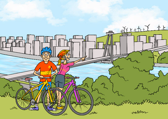
Petržalka is a unique district of Bratislava. Enclosed by the bend of the Danube and the border with Austria, it is traversed by European motorways and the EuroVelo bicycle routes. From time immemorial there has been an important international river crossing here. The first settlers came in the 13th century to the ‘enge Au’ (narrow floodplain), which was plagued by high waters. These first settlers were ferrymen and were followed later by Germans who also took to farming. In 1890 there were 905 inhabitants, mostly Germans, as well as Slovaks and Hungarians. Eventually more and more Slovakian farmers moved there. Later they started to work in industrial professions. In 1919, with the creation of Czechoslovakia, Engerau was renamed Petržalka, now the new nation’s biggest village. By 1930 there were over 14,000 inhabitants. In 1938, this region was consolidated into the German Reich under its earlier name of Engerau. Weapons were produced there, and Jews were forced to work on the fortifications (the ‘Südostwall’). In 1945, after being taken by the Red Army, Petržalka once again became a part of Czechoslovakia. In 1973 the construction of a planned socialist city began, which lasted for twelve years. The construction of the prefabricated buildings blocked all views across the border to the West. Today Petržalka is home to 105,000 people. After 1989 unrestricted travel was permitted again, including border crossings by bicycle along the Iron Curtain Trail.

Interesting facts

How the village of Engerau became Petržalka, Slovakia’s most densely populated ‘city’
 Audio
Audio